
As well as the Vision, a set of place plans have been created for areas in the harbour. The plans include proposals for their growth and transformation.
On this page
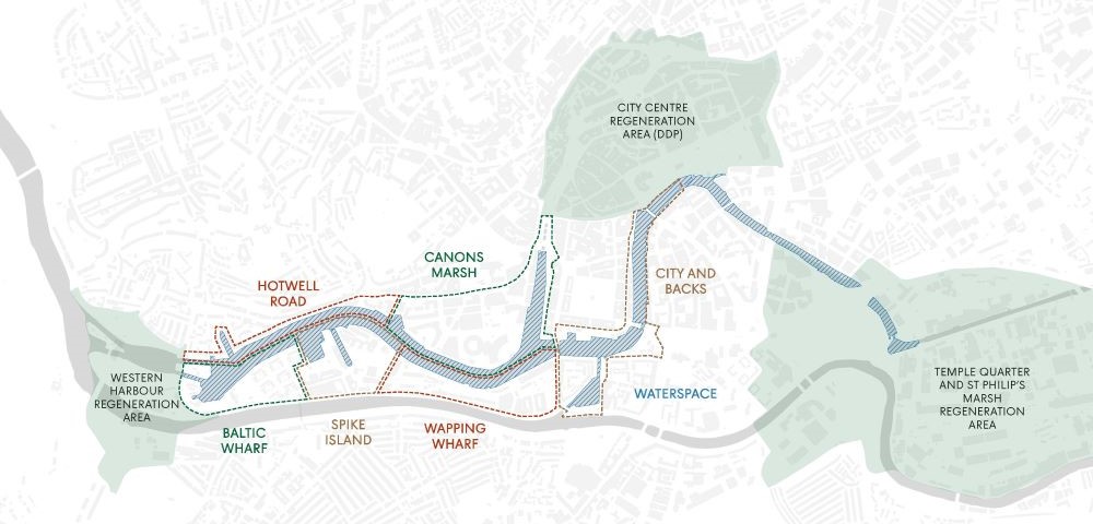
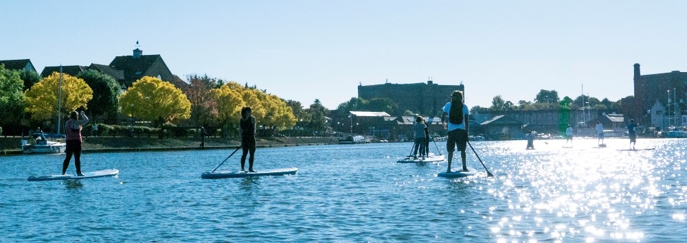
Waterspace
Area that the plan covers
The pdf Waterspace Plan(4.33 MB) includes Bristol's Floating Harbour from Junction Lock Bridge near Underfall Yard to Totterdown Basin adjacent to Temple Meads Station. It is made up of 27 hectares of water.
This waterspace does not include the New Cut (River Avon), Feeder Canal or Cumberland Basin.
The vision for the Waterspace in the future
In the future the waterspace will have:
- more moorings to introduce further activity into the harbour
- a frequent and affordable ferry service
- more wildlife, habitat and biodiversity
- improved water quality
- more opportunities for people to try water-based activities such as watersports, swimming and fishing
There will also be better access to the waterfront connecting to wider routes. The infrastructure such as docks, walls, sluices, locks bridges will be well maintained.
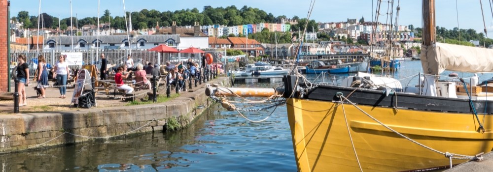
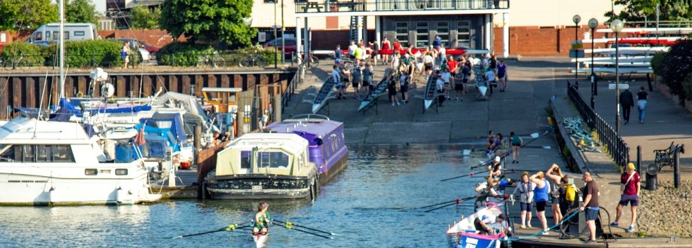
Baltic Wharf
Area that the plan covers
The pdf Baltic Wharf Place Plan (3.33 MB) includes Avon Quay, Underfall Yard, and extends east bordering the Marina.
The vision for Baltic Wharf in the future
Baltic Wharf will be home to a shared hub for watersports, with better storage and shared facilities for a range of watersports organisations.
The water will be more accessible, with generous steps for people to safely view watersports.
Avon Quay will be a future gateway to the Western Harbour development as a new destination including commercial and leisure uses as part of a lively mixed-use neighbourhood.
The plan explains where there are key opportunities for development, public realm and transport.
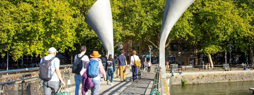
Spike Island
Area that the plan covers
The pdf Spike Island Place Plan(2.90 MB) includes the Marina, Albion industrial space, Spike Island Artspace, and the SS Great Britain.
The vision for Spike Island in the future
Spike Island will continue to be a place for culture and making. The creative institutions will be more accessible and visible to people.
The Albion Dockyard will be transformed into a world-class maritime attraction inside a thriving working shipyard.
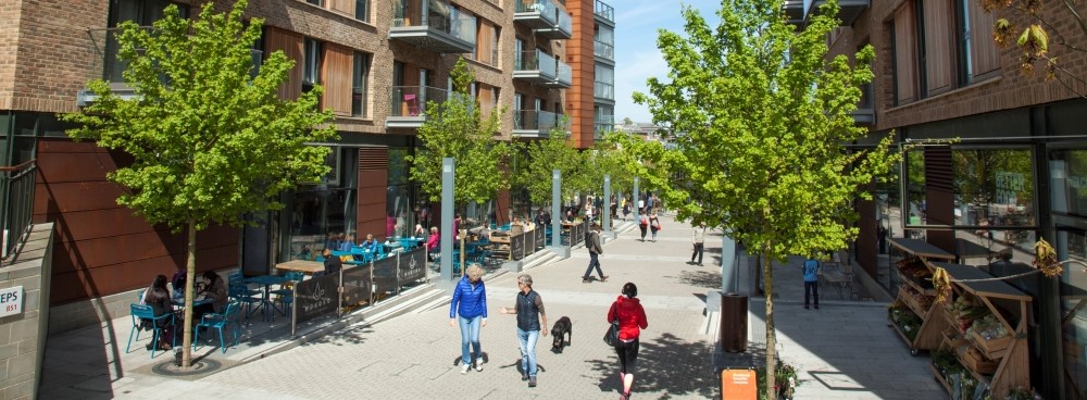
Wapping Wharf
Area that the plan covers
The pdf Wapping Wharf Place Plan(4.62 MB) includes Wapping Wharf, Princes Wharf and M Shed.
The vision for Wapping Wharf in the future
Wapping Wharf will be a family friendly destination.
Museum Square will be the area's principle meeting space with space for events like film screenings and school picnics.
The area will keep its reputation for great food and drink with a more permanent offer delivered by the final phase of the Wapping Wharf development.
Canon's Marsh
Area that the plan covers
The pdf Canon's Marsh Place Plan(5.64 MB) includes Narrow Quay, Lloyd's Amphitheatre and Millenium Square.
The vision for Canon's Marsh in the future
Canon's Marsh will be revitalised as an inclusive and family-friendly area.
Its significant events spaces, including the Amphitheatre and Millenium Square, will be great places to go both during and outside of formal events.
More greenery, shade, and seats will mean there will be more places to sit, walk and dwell. A new cross-harbour ferry will directly connect M-Shed and the Amphitheatre.
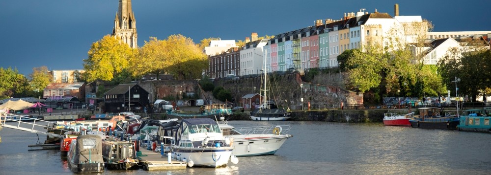
City and Backs
Area that the plan covers
The pdf City and Backs Place Plan(3.40 MB) includes Prince Street Bridge, The Grove, Welsh Back, Redcliffe Back and Bristol Bridge.
The vision for City and Backs in the future
More people will visit City and Backs in the future as new developments provide new destinations around the harbour.
The water's edge will be publicly accessible where possible and the public realm improved.
The Grove car park could be a new waterfront destination with more space for commercial activities whilst simplifying the car parking.
By Bristol Bridge there will be a boardwalk space with tiered seating for people to enjoy and to get close to the water.
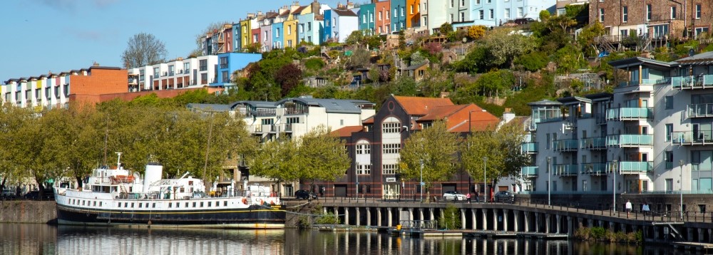
Hotwells Road
Area that the plan covers
The pdf Hotwells Road Place Plan(2.74 MB) includes Capricorn Quay, Mardyke Ferry Landing and Pooles Wharf Marina.
The vision for Hotwells Road in the future
The quayside walk will be improved for pedestrians to walk through and be next to the water.
Mardyke Wharf will be improved to support watersports activity, create public space and provide new space for commercial businesses.